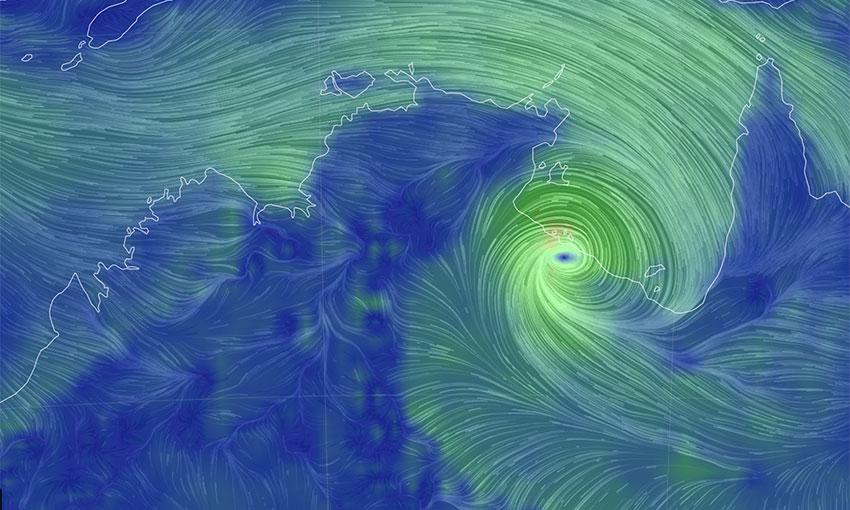
TROPICAL Cyclone Megan damaged a mining company’s wharf infrastructure as the weather system approached the Northern Territory coast on Monday.
The category-three cyclone stirred up dangerous marine conditions in the Gulf of Carpentaria on 18 March, making landfall southwest of Port McArthur at 1530 ACST.
The NT government on Monday afternoon warned of a dangerous storm tide, damaging waves and dangerous flooding in coastal areas between Bing Bong and the NT/Queensland border.
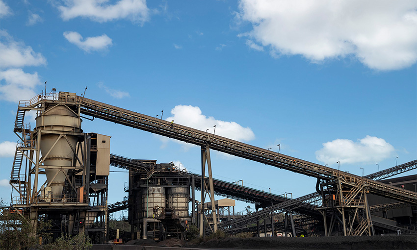
Mining and metals company South32 said the cyclone had damaged a wharf on Groote Eylandt off the NT coast, and operations had been suspended.
“Severe weather conditions continue to impact the Eylandt and we are closely monitoring the situation,” South32 said in an ASX announcement.
“Initial inspections indicate the cyclone has caused structural damage to the wharf.
“The full impact of the damage and subsequent disruption to production and sales volumes will be assessed when access to the port and other infrastructure is restored.”
South32 co-owns Groote Eylandt Mining Company alongside Anglo American. The Groote Eylandt port exports manganese.
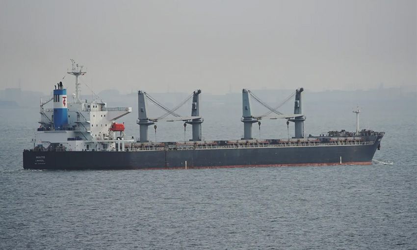
Early reports from NT and national media suggest a bulk carrier caused the damage.
“The safety of our people and the community on Groote Eylandt is our priority,” South32 said.
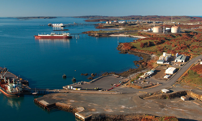
And MSQ general manager Kell Dillon on Monday afternoon said Tropical Cyclone Megan was not posing any major issues for Queensland ports at that stage.
“While the port of Amrun has ceased operations due to northwest swells, this is a normal occurrence at this time of year. Amrun’s vessels will berth once swells have eased,” he said.
“The port of Karumba remains open, but a vessel has been delayed entering the port due to swell.
“All Queensland ports are otherwise operating as usual.”
The Bureau of Meteorology expects Severe Tropical Cyclone Megan to weaken as it slowly moves inland overnight.
“Megan is forecast to weaken below cyclone intensity during Tuesday and then move west across the Northern Territory towards the Kimberley as a tropical low,” BOM said in a cyclone update.
“It is not expected to redevelop into a tropical cyclone even though it may approach the west Kimberly coast late in the week.”
