
-
Posted by Allen Newton
- |
-
27 March, 2026
UPDATED: Friday 4.30pm, AEDT.
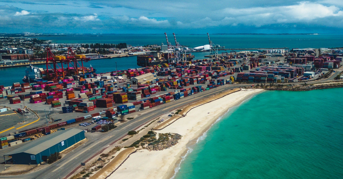
THE PORT of Fremantle has joined the list of ports down Western Australia’s coastline impacted by Cyclone Narelle.
The port joins Geraldton and the Pilbara Ports of Ashburton, Cape Preston West, Dampier and Varanus Island, taking cyclone safety precautions. All of these ports are closed to shipping. The Port of Port Hedland remains open.
In a notice issued today the Port of Fremantle said vessels at the FPA Inner anchorages, certain vessels at ORAN and ORA anchorages which do not have a berthing schedule during the adverse weather period or are not expected to have cargo operations will be required to proceed to sea.
“This requirement is based upon forecast wind force, prolonged directional impact and congestion at these anchorages. All charges for pilotage and towage shall be to the vessel’s account. Any additional vessels identified as a risk will be instructed to depart the anchorages by Fremantle VTS,” the report said.
“The Oil Refinery will sail the Marlin Le Hevre when cargo is complete and await the passing of this weather event before receiving the next vessel. With the current fuel situation this facility will have priority for return to berth.
“Vessels at anchor in Outer anchorages are advised to heave anchor and proceed to sea for the period of impact.
“The vessel alongside Outer Harbour Terminal KBB2 (CL Nakama) will be sailing from the berth and be shifted to anchorage. Vessel (Power Globe) at KBB3 will be completing cargo and sailing. The African Bari Bird vessel will be removed from KBB4 and returned once safe to berth. Fremantle Ports’ scheduling team will continue to keep agents informed through this weather event.
The conditions are in place from 26 March to 30 March.

Narelle has also forced widespread operational shutdowns across Western Australia’s resources sector, with LNG producers bearing the brunt of the system as it tracks south along the Pilbara and Gascoyne coasts.
According to media reports Woodside, Chevron and Santos have all suspended offshore activities, with several LNG trains taken offline as the cyclone brought destructive winds exceeding 200 km/h and heavy rainfall across the North West Shelf.
The outages represent a significant portion of WA’s gas output, with analysts estimating up to 40–45% of production was temporarily affected.
Iron ore producers have enacted cyclone protocols across the Pilbara, though impacts remain more contained. BHP, Rio Tinto and Fortescue have scaled back non‑essential work and relocated personnel at exposed sites, but core mining and processing operations continue. Companies are monitoring conditions closely as the system moves south.
In the Mid West, Fenix Resources has reported dual pressures from the cyclone and diesel supply constraints, with Geraldton Port’s temporary closure halting exports. The company has reduced non‑essential activity but is maintaining haulage and processing using stockpiled fuel.
Lithium producers in the Pilbara and Gascoyne are also preparing for potential shutdowns if conditions deteriorate, with industry observers warning of possible short‑term impacts on global battery‑material supply.
A notice issued by the Bureau of Meteorology at 1pm WST on Friday said Narelle had weakened to a category 3 and was lying just offshore from Coral Bay with coastal crossing expected imminently.
It had sustained winds near the centre of 150 kilometres per hour with wind gusts to 205 kilometres per hour and was moving south at 23 kilometres per hour.
“Narelle is slowly weakening just near the coast of Coral Bay, and is moving south southeast taking it further away from Exmouth towards Carnarvon,” BOM said.
“Severe impacts are occurring on the far western Pilbara coast and northern Gascoyne coasts, extending south to Carnarvon during this afternoon. On Saturday, Narelle is expected to be weakening rapidly as it moves quickly to the south southeast over land, with impacts extending to the Central West and then further inland and south across the South West Land Division.
“During Saturday the strongest winds are expected to be on the eastern side of the system.”
A notice from Mid West Ports said the Port of Geraldton has activated its cyclone response procedures and is currently at Cyclone Alert Stage 3 – Clear Port.
“All large commercial vessels have now departed the Port and anchorages. Mid West Ports is continuing to secure loose items across the Port and working closely with operators and pen holders in the Fishing Boat Harbour to support preparations,” the notice said.
“Our priority remains the safety of people, vessels and infrastructure. Port operations will resume once conditions are safe.”
“Considering the direction of impact from the forecast wind, certain vessels may be permitted to remain alongside berths in the Inner Harbour.”