
TC Fina closes Darwin Port
-
Posted by Dale Crisp
- |
-
21 November, 2025
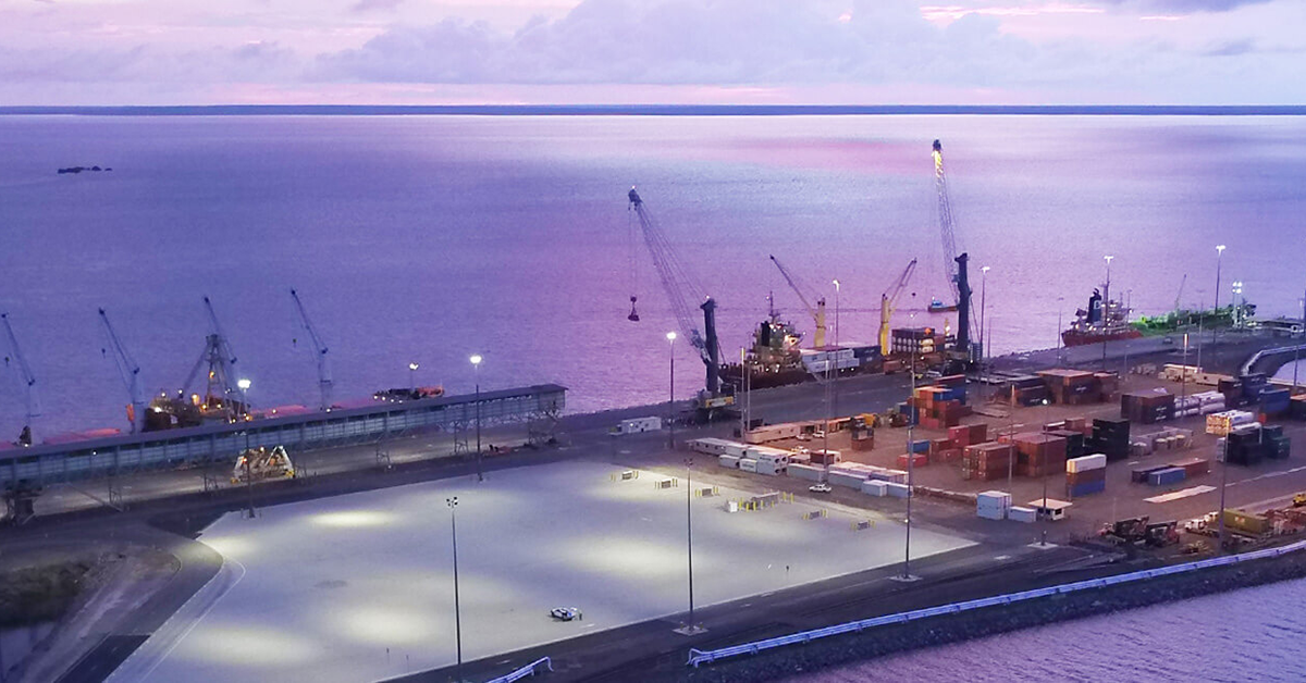
THE port of Darwin was closed at 2100 hours on Friday [21 November] until further notice due to expected impact of Tropical Cyclone Fina.
Mid-afternoon Northern Territory time the port issued the following notice:
“Pursuant to subsection 50(1) of the Ports Management Act 2015 (NT), the waters of Port of Darwin will be closed from 2100 on 21 November 2025 until further notice due to the impact of Tropical Cyclone Fina.
“There will be no pilotage, harbour control, vessel traffic or other port services available during the closure.
“All persons and commercial vessels must keep clear of the closed waters for safety reasons, except in an emergency where vessels are seeking a ‘place of refuge’.”
In its 1530 ACST update the Bureau of Meteorology said Tropical Cyclone Fina has intensified to a category 2 cyclone, and is moving slowly to the southwest.
“Fina is approaching the Cobourg Peninsula and Tiwi Islands and will move over the area tonight, before continuing southwest through the Van Diemen Gulf on Saturday.
“Fina is forecast to further intensify to a severe tropical cyclone during overnight Sunday or early Monday as it moves through the southern Timor Sea.
“There continues to remain a chance that it could reach category 3 intensity earlier, during late Friday or early Saturday as it moves into the Van Diemen Gulf.
"Gales with damaging wind gusts to 120 km/h are occurring over the Cobourg Peninsula between Cape Don and Warruwi. Gales are expected to extend further west to include the Tiwi Islands during late Friday, and to Darwin from Saturday morning. Gales could extend inland to Gunbalanya and Batchelor during Saturday if Fina moves further south. Gales may extend further southwest to Daly River Mouth and Wadeye later on Saturday or overnight into early Sunday morning.
"Destructive wind gusts to 155km/h may develop between Cape Don and Minjilang Friday evening as the system nears the coast, extending to the Tiwi Islands early Saturday and possibly to Darwin later on Saturday. Destructive winds may extend east to Warruwi later Friday if the system takes a track further east.
"Heavy to locally intense rainfall which may lead to flash flooding is possible along coastal areas between the Tiwi Islands and Warruwi from Friday, extending to the coast and nearby inland areas across the western Top End including Darwin during Saturday and Sunday.
Coastal residents on the Tiwi Islands, and between Cape Hotham and Warruwi are specifically warned of a dangerous storm tide as the cyclone centre crosses the coast during Friday and Saturday. Tides are likely to rise significantly above the normal high tide, with damaging waves and dangerous flooding.”
As of Monday morning, a notice of closed waters was still appearing on the Darwin Port website and the BOM has issues a hurricane force wind warning for the Beagle Bonaparte coast.