
-
Posted by Dale Crisp
- |
-
20 March, 2026
TROPICAL Cyclone Narelle was continuing to move westward over the Cape Yorke Peninsula on Friday afternoon, having crossed the coast from the Coral Sea in the early hours of the morning north of the town of Coen as a ‘high range’ Category 4.
Sustained winds at that point were recorded at 195 km/h with gusts of 270 km/h and while there have been many reports of downed trees and power lines and lost roofs, along with torrential rainfall, at time of writing DCN had not been advised of damage to port infrastructure or maritime operations.
Narelle was continuing west northwest at 20 km/h, according to the Bureau of Meteorology’s 1300 hrs AEST update and had reduced, as predicted, to a Category 3 but is expected to strengthen again when it reaches the Gulf of Carpentaria.
The Queensland Government said the impact of the tropical cyclone had not been as severe as expected but urged continued vigilance.
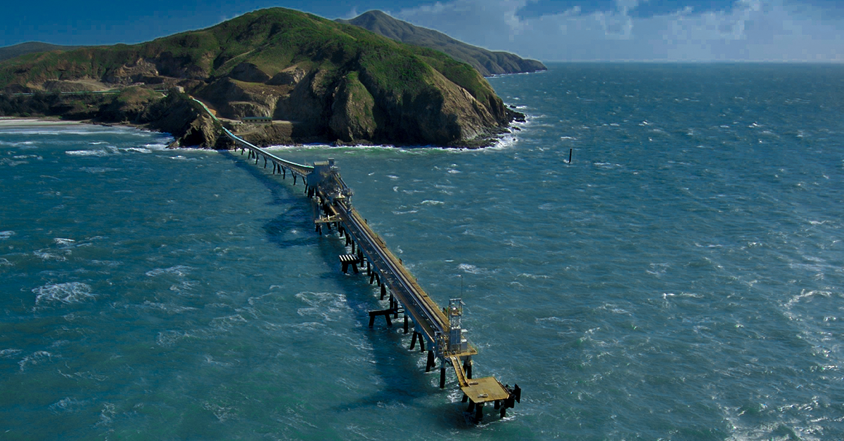
A Cape Flattery Silica Mines spokesperson told DCN its site and shiploading facilities had been completely evacuated and the company was monitoring the situation and keeping relevant authorities informed about preparations.
“The safety of our employees is our number one priority,” the spokesperson said.
Torres Pilots said its risk management indicated weather was not so severe as to interrupt pilot launch transfers in the Torres Strait (about 30 knows with stronger gusts) and at Cairns (about 20 knots with stronger gusts).
A couple of vessels were noted to have anchored in the inner route of the Great Barrier Reef so as not to enter the eye of the cyclone but have since resumed their voyages.
On the other side of the peninsula, Weipa/Aurukun remained closed, local sources said, but could re-open tomorrow [21 March] although shipping operations could be delayed pending assessments of any possible infrastructure damage or disruption.
South 32’s Groote Eylandt operations are likely to be closed until at least Sunday.
The BoM advice for the Northern Territory is as follows:
-
GALES are not expected in coastal areas in the next 24 hours, however gales are expected to develop in coastal areas between Port McArthur and Nhulunbuy from Saturday afternoon as Narelle approaches from the east, and extend inland to areas including Ngukurr on Saturday night or Sunday morning.
-
VERY DESTRUCTIVE winds are expected near the centre of the cyclone as it approaches the Northern Territory coast on Saturday night.
-
HEAVY RAINFALL which may lead to FLASH FLOODING is possible for coastal and adjacent inland areas over the eastern Top End between Port McArthur and south of Nhulunbuy from late Saturday.
-
Tides will be higher than normal between Nhulunbuy and Port McArthur later Saturday and Sunday. LARGE WAVES may produce MINOR FLOODING of low-lying coastal areas. A potentially DANGEROUS STORM TIDE between Alyangula and Port Roper is possible as the cyclone centre crosses the coast with DAMAGING WAVES and DANGEROUS FLOODING.